-
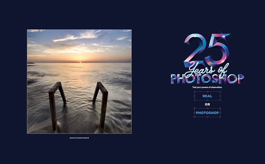

25 years of Adobe Photoshop: real or edited? (Source: Kent Mearig) -
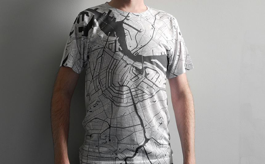
Citee Fashion: wearable cities (Source: Alex Szabo-Haslam) -
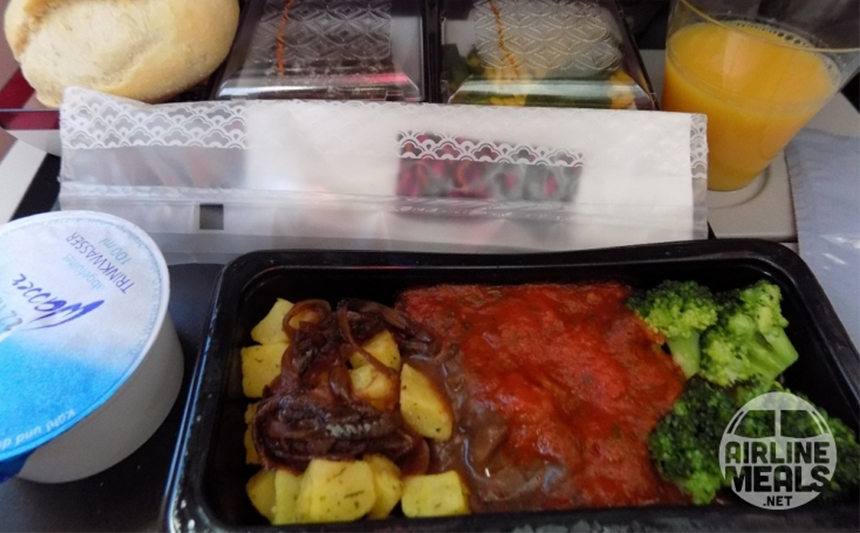
Collection of more or less appetizing in-flight meal photos (Source: airlinemeals.net) -
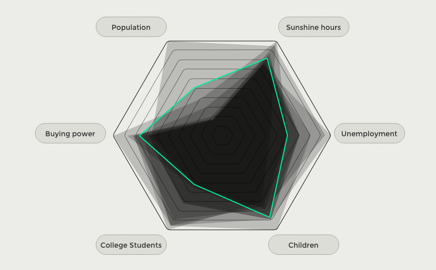
City Statistics (Source: Bureau Oberhaeuser) -
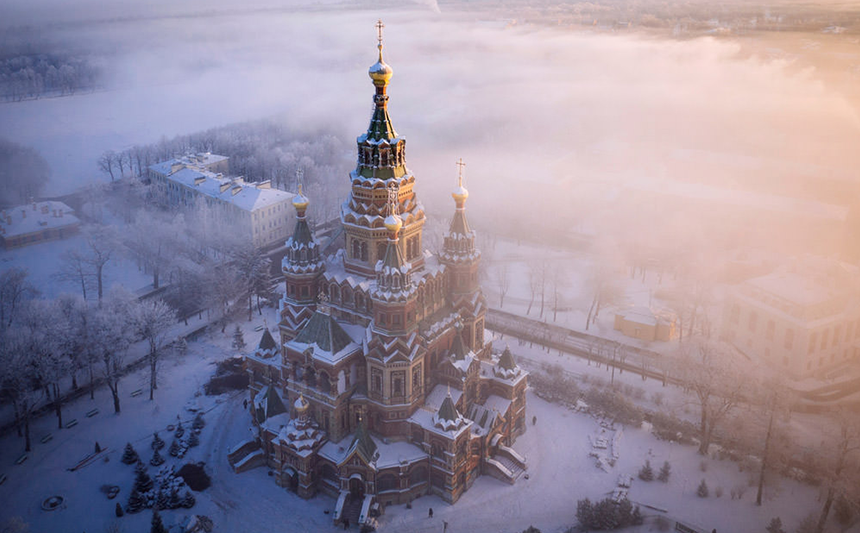
Found on hongkiat.com: 30 Aerial Drone Photographs (Source: Amos Chapple)


Our Top 5 Links: For Frequent Flyers, T-Fans and Photoshop Sceptics
Wear you favourite city as a fashion statement or take a look at them from far above. And if you ever wondered how in-flight meals differ by class and airline you should check out our links of the week.
Do maps have a certain beauty for you?
Maybe the Kickstarter project Citee Fashion is perfect for you: The designer Alex Szabo-Haslam created T-Shirts using OpenStreetMap data. Each t-shirt displays a map from one of 80 cities across the globe.
Are you interested in statistics about life in Germany?
Bureau Oberhaeuser is a design studio created an interactive infographic you can compare the statistics of the ten largest German cities by 15 customizable categories.
How was your last in-flight meal?
Did you enjoy it – and did you take a picture? Then you should join the foto community http://www.airlinemeals.net/. Since 2001 almost 35,000 images have been uploaded.
Do you love to see the earth from above?
Some of these photos taken by drones look a bit like Google Earth images but with a much higher resolution. Others make you feel like flying. For example you can enjoy a full view of the Taj Mahal that shows all major landmarks including the full span of the river.
What do you guess: real or photoshop?
Adobe celebrates 25 years of photoshop and wants to prove, that it is nearly impossible to differentiate between a real or edited photo. Can you tell the difference? Take the test.