-
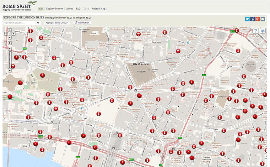

Bomb Sight (Source: http://bombsight.org) -
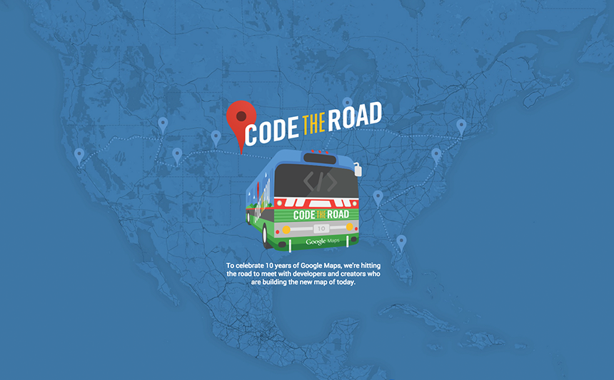
Code the Road (Source: Google) -

Fractals (Source: http://sub.blue/fractal-lab) -
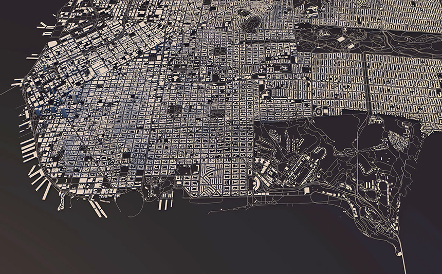
Manhattan, New York (Source: Luis Dilger)


Our Special Treat of the Week: Cities in 3D, Hot News from Google and Nice Fractals
We like to think outside the box and get inspired by ideas and projects from other fields. Every friday we sit together for a drink to explore the biggest news and other great discoveries from the web together. Here are our top 5 links of the week.
Recap Google I/O 2015: A new Android, smarter apps, and pushing virtual reality – the 12 most important news from this year’s Google event.
City Layouts: Wonderful 3D City posters based on OpenStreetMap and DEM Earth in Cinema 4D. The designer Luis Dilger shows the exact three-dimensionality of topography and buildings – a real world visualization.
Explore the London blitz during 7th October 1940 to 6th June 1941: Horrifying! The Bomb Sight project is mapping the London WW2 bomb census between 7/10/1940 and 06/06/1941. Previously available only by viewing in the Reading Room at The National Archives, Bomb Sight is making the maps available to citizen researchers, academics and students. They will be able to explore where the bombs fell and to discover memories and photographs from the period.
Code the road: To celebrate ten years of Google Maps, Google’s Code the Road Bus sets out to meet with developers and creators who are building the new map of today.
Nice Fractals – just for fun and inspiration.